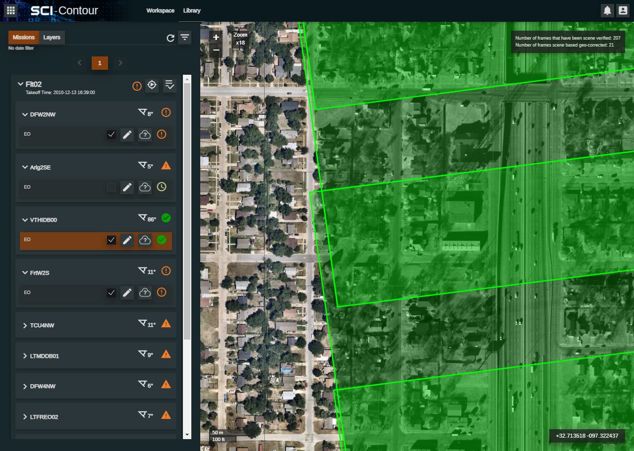

Visualisation of single band or multi-spectral imagery from sweeping and grid sensor imagery scenes as seamless single image.
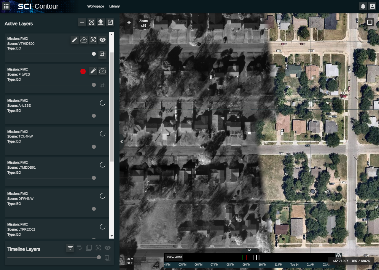
Automatically triggered on ingest or user triggered image correction of data in the SCi-Toolset datastore.
Image layer generation from multiple image scenes.
Time-line to visualise multiple capture scenes with the ability to screen through time to highlight change.
Display KML and KMZ layers over the top of the imagery.
Export of map layer tile sets in Web Map Tile Service (WMTS) format use in other geospatial applications such as SCi-X.
Standalone desktop viewer to support the visualisation of exported image MBTiles.
MORE